The Pacific Was Ready This Time
How early warnings and fast evacuations turned a major quake into a global test of preparedness

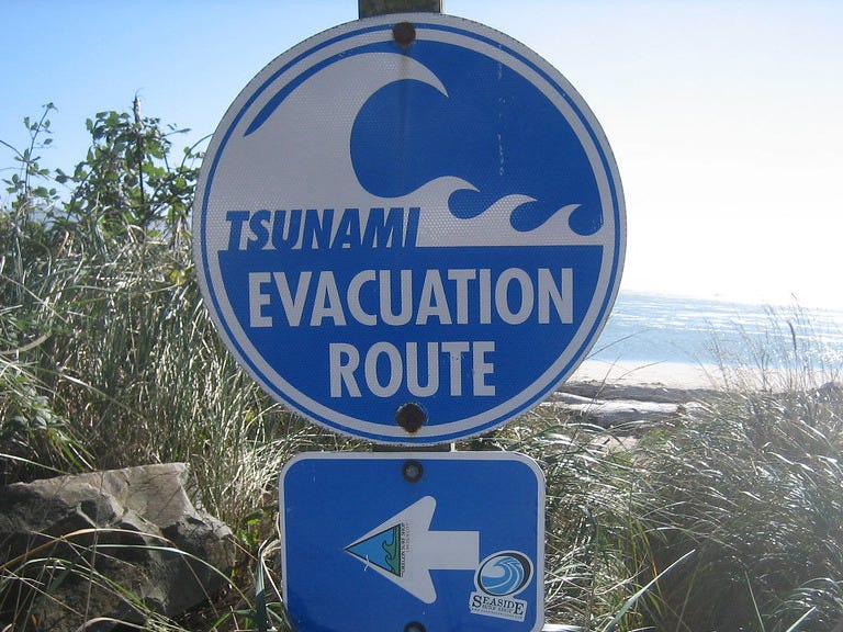
In the hours after one of the most powerful earthquakes ever recorded, the Pacific did not panic. It moved.
On July 29, 2025, at 23:25 UTC, an 8.8-magnitude earthquake struck off the coast of Russia’s Kamchatka Peninsula. The tremor, shallow and massive, shook buildings across the Russian Far East and launched tsunami warnings across half the planet. What followed was not catastrophe, but coordination.
Within minutes, seismic monitoring agencies from Tokyo to Honolulu issued bulletins. Evacuation orders were triggered in Japan, Hawaii, the U.S. West Coast, and across island nations and coastal states lining the Pacific. Sirens sounded. Ports emptied. Beaches cleared. Air traffic was halted. And in the hours that followed, waves came, some large, some small, but very few were caught unaware.
This wasn’t luck. It was a stress test for systems built after the failures of past disasters. And this time, much of it worked.
The quake struck just over 100 kilometers southeast of Petropavlovsk-Kamchatsky. Russian officials reported minor injuries and infrastructure damage. But the real story was offshore. A wall of water up to five meters high hit Severo-Kurilsk, flooding the port and sweeping vessels inland. Yet over 2,700 people had already been moved to safety.
In Japan, evacuation orders covered nearly two million people. The largest recorded wave reached 1.3 meters in Kuji, Iwate Prefecture. A woman died during evacuation, but mass casualty fears never materialized.
In Hawaii, gauges measured waves as high as 1.7 meters. Flights were grounded. Harbors were closed. But by dawn, damage was minimal. The same pattern repeated from California to British Columbia, from Guam to the Galápagos. Forecasts were accurate. People moved.
The 2011 Tōhoku disaster in Japan and the 2004 Indian Ocean tsunami taught the world that minutes matter. Since then, investment in seismic detection, tsunami modeling, and public education has expanded. The Pacific Tsunami Warning Center and its partners now issue layered bulletins, forecasting not just if a wave is coming, but when, how high, and where it will hit.
On July 29, those systems were tested by a quake on par with Chile 2010 or Ecuador 1906. Yet thanks to clearer modeling, better public messaging, and proactive governments, the reaction was decisive.
Warnings went out fast. People responded. And waves that might once have meant mass death instead arrived to emptier coastlines.
Aftershocks continue. Officials warn that further waves, though unlikely to be destructive, can arrive hours later. And while coordination was strong this time, not all regions are equally prepared. Parts of Central and South America issued warnings but lacked the same infrastructure to evacuate widely.
The quake revealed cracks too. Some alerts took longer to propagate. Some coastal areas saw traffic jams and confusion. And in a media landscape dominated by speed, false reports spread faster than some official warnings.
But taken as a whole, the Pacific passed a major test.
Tsunamis are not always towering waves. Sometimes they are pulses, invisible until they drag a swimmer into the sea or tear a dock from its moorings. The real threat lies not just in height, but in current.
And the real victory on July 29 was not that the waves were small, some weren’t. It’s that people didn’t wait to find out.
For once, preparedness outpaced disaster.